
25 documents, made accessible as part of the (Mandatory Declassification Review, MDR) reveal how US policymakers conceived and built the US Space Surveillance Network 65 years ago to detect, track, and collect information on an ever-growing number of satellites and debris.
The competition in space began with the efforts of the USA to track and monitor objects in space, from the days before Sputnik 1 to today’s much more populated orbital environment.
These documents trace the origins and development of the program, including the development of the first cameras designed specifically for photographing and tracking US scientific satellites from 1956 onwards. Other documents describe how, in the subsequent years, the Space Detection and Tracking System (SPADATS) expanded the number of radars and optical sensors significantly to keep pace with the constantly growing number of space objects, especially Soviet military satellites posing a potential threat to national security.
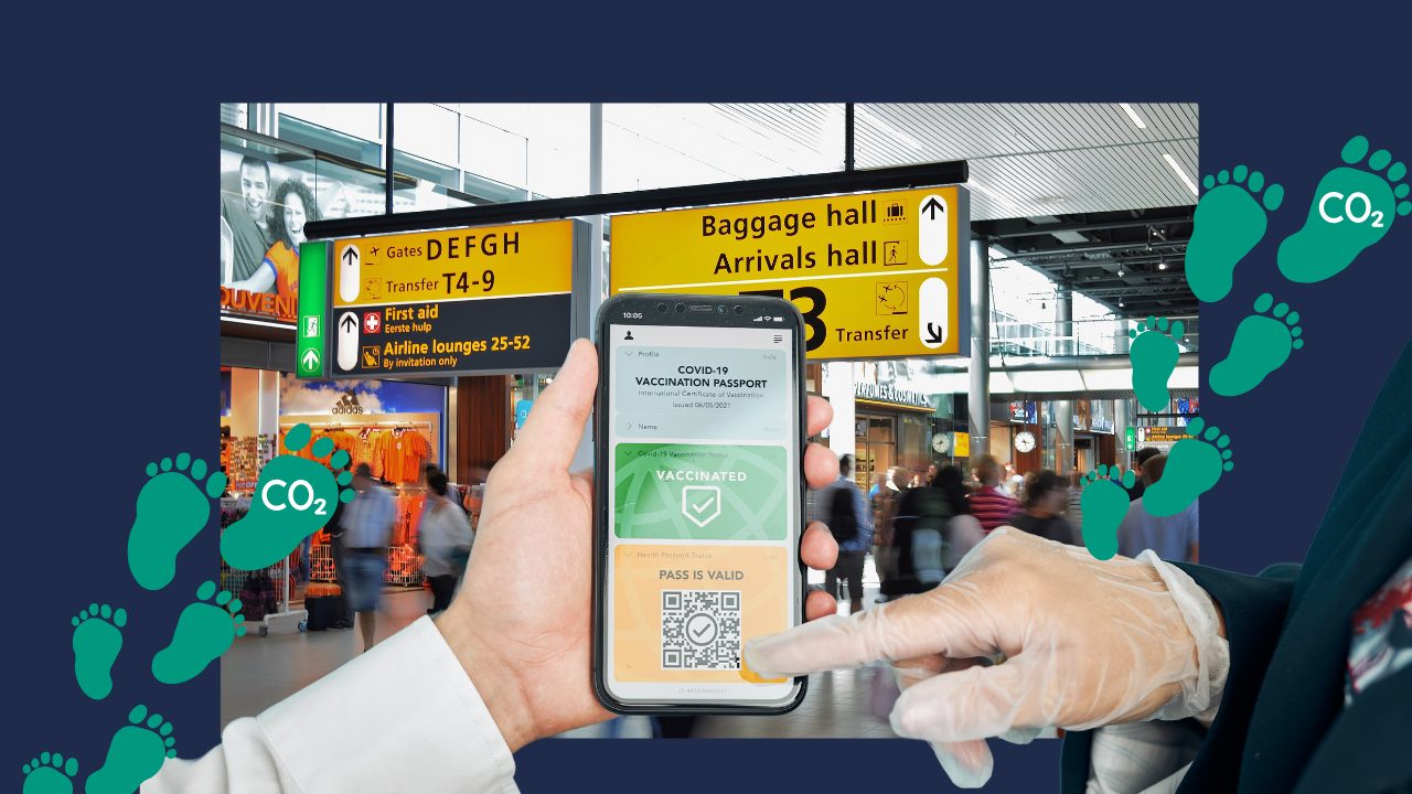
The US Space Surveillance Network includes its own, additional, and contributing electro-optical, passive high-frequency (HF), and radar sensors, which, with the help of satellite information, can monitor citizens worldwide through a variety of methods and technologies.
Now
Governments can deploy imaging satellites equipped with high-resolution cameras to capture detailed images of the Earth’s surface. These satellites can provide information on a variety of activities, such as city development, agriculture, infrastructure, and human movements. Satellite sensors can capture different types of information, such as temperature, weather patterns, and pollution levels. This data can be used to monitor environmental conditions and indirectly human activities.
The way governments monitor citizens worldwide is very simple: they use satellites. For example, in GPS tracking, satellites are frequently used for navigation and location-based services. Governments and major technology companies access GPS data to track the movements of individuals or vehicles in real-time.
Another traditional method since their invention is communication interception: governments can intercept and monitor phone calls, emails, and data transmissions, revealing information about the activities and locations of individuals.
Of course, satellites can also be used for good purposes, such as monitoring specific sensitive areas like military facilities, border regions, or areas prone to illegal activities, or for disaster response and emergency measures. Governments use this technology to assess the extent of natural disasters, plan relief efforts, and coordinate rescue operations.
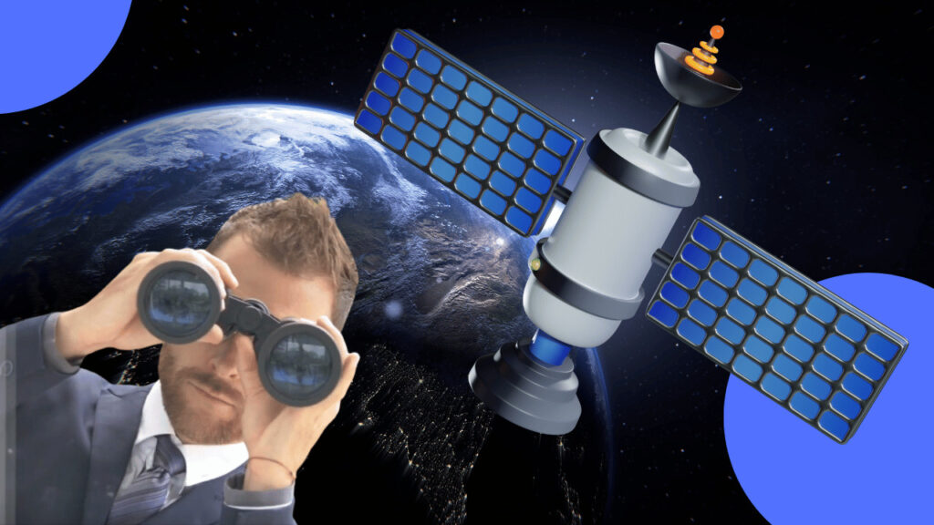
And now, the big tech companies are entering space too.
Elon Musk and SpaceX are launching a military version of Starlink called Starshield. According to the newly established website, Starshield will be the military and government version of Starlink, a satellite-based internet service. It will initially focus on three areas: Earth observation, communication, and hosted payloads.
So, it will be a surveillance satellite and a communication platform that can be customized for each customer.
The launch of Starshield is a public confirmation that the military and governments are the biggest customers of SpaceX. Even the consumer-oriented Starlink service, originally intended to connect underserved rural areas, is now falling into the realm of warfare.
The Pentagon has covered the costs of many Starlink terminals in Ukraine and is already extensively using the satellite network and SpaceX rockets. NASA is one of SpaceX’s biggest partners, and the company first launched systems for the Air Force into space in 2018.
In June, it launched a satellite for the German government.
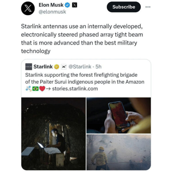
Elon Musk confirms that the communication technologies used in the Starlink systems are more advanced than the best military technology on Earth…
“The ongoing collaboration of SpaceX with the Department of Defense and other partners demonstrates our ability to operate on a large scale both in space and on the ground,” states the company’s website. The launch of Starshield followed the announcement on December 1st that the Federal Communications Commission granted SpaceX permission to launch an additional 7,500 satellites, a so-called “constellation,” into the air. In the near future, Earth’s orbit will be filled with Musk-branded satellites.
What about other players?
Now, China and Russia have developed robust space situational awareness systems crucial for their objectives. (Space surveillance is commonly referred to today as space domain awareness.) In 2021, General David Thompson, the Deputy Commander of the U.S. Space Force, stated that “both China and Russia regularly attack U.S. satellites using non-kinetic means, including lasers, radio jammers, and cyberattacks. Most of these attack details remain classified.
However, a few have been disclosed, such as the Russian cyberattack on the ground infrastructure of ViaSat communication satellites on February 24, 2022, disrupting service for Ukraine and several European countries. Russia has regularly disrupted GPS signals in various areas, including Ukraine since its 2014 invasion and in northern Norway during NATO exercises. Additionally, China and Russia have operational anti-satellite weapons armed with conventional warheads capable of destroying satellites in low Earth orbit.
Individuals, non-governmental organizations, businesses, and governments worldwide rely on a variety of satellites for communication, navigation, disaster relief, weather information, environmental and agricultural monitoring, geology, oceanography, and many other applications.
Astronomers from the Dutch LOFAR telescope have observed dozens of SpaceX Starlink satellites and found that they continue to emit “unwanted electromagnetic radiation” from their electronics, according to the International Astronomical Union in a statement. The examination of Starlink satellites revealed that the observed satellites emit signals at frequencies causing interference in radioastronomical observations.
The interference from Starlink satellites makes it extremely challenging for radio telescopes to detect signals from distant objects in space. Under normal conditions, radio telescopes are placed in isolated, specialized areas where no interference can occur. This way, interference from both terrestrial and orbiting satellites is avoided.
PRVCY Impacts
It is important to know that satellite surveillance of citizens raises significant privacy concerns. We have always known that the USA is engaged in espionage, but now, with major tech companies like Starlink, laws and regulations in many countries are no longer enforceable.
While some aspects of satellite surveillance are subject to international agreements and regulations, such as the Outer Space Treaty and the Remote Sensing Policy, which restrict the dissemination of high-resolution images, we cannot rely on Big Tech and governments to adhere to these rules.
Protecting oneself from satellite surveillance can be a challenge, as it often requires advanced technologies and resources. While it may not be possible to completely escape satellite surveillance (after all, we are starting a secret society living underground), there are steps we can take to protect our privacy and reduce the risk of unwanted observation:
#PRVCYTips
Limit Publicly Accessible Information:
Be mindful of what you share online, especially on social media. Avoid disclosing personal details, exact locations, and travel plans that can be used to track your movements.
Use Encryption:
Encrypt your communications to protect your data from interception. Use secure messaging apps and email services that offer end-to-end encryption.
Avoid GPS-Enabled Devices:
Turn off GPS on your smartphone when not needed. Additionally, consider using offline maps like Osmand.
Secure Your Wi-Fi:
Protect your home network with a strong password and encryption. Disable remote management of your router, and consider using a virtual private network (VPN) to encrypt your internet traffic.